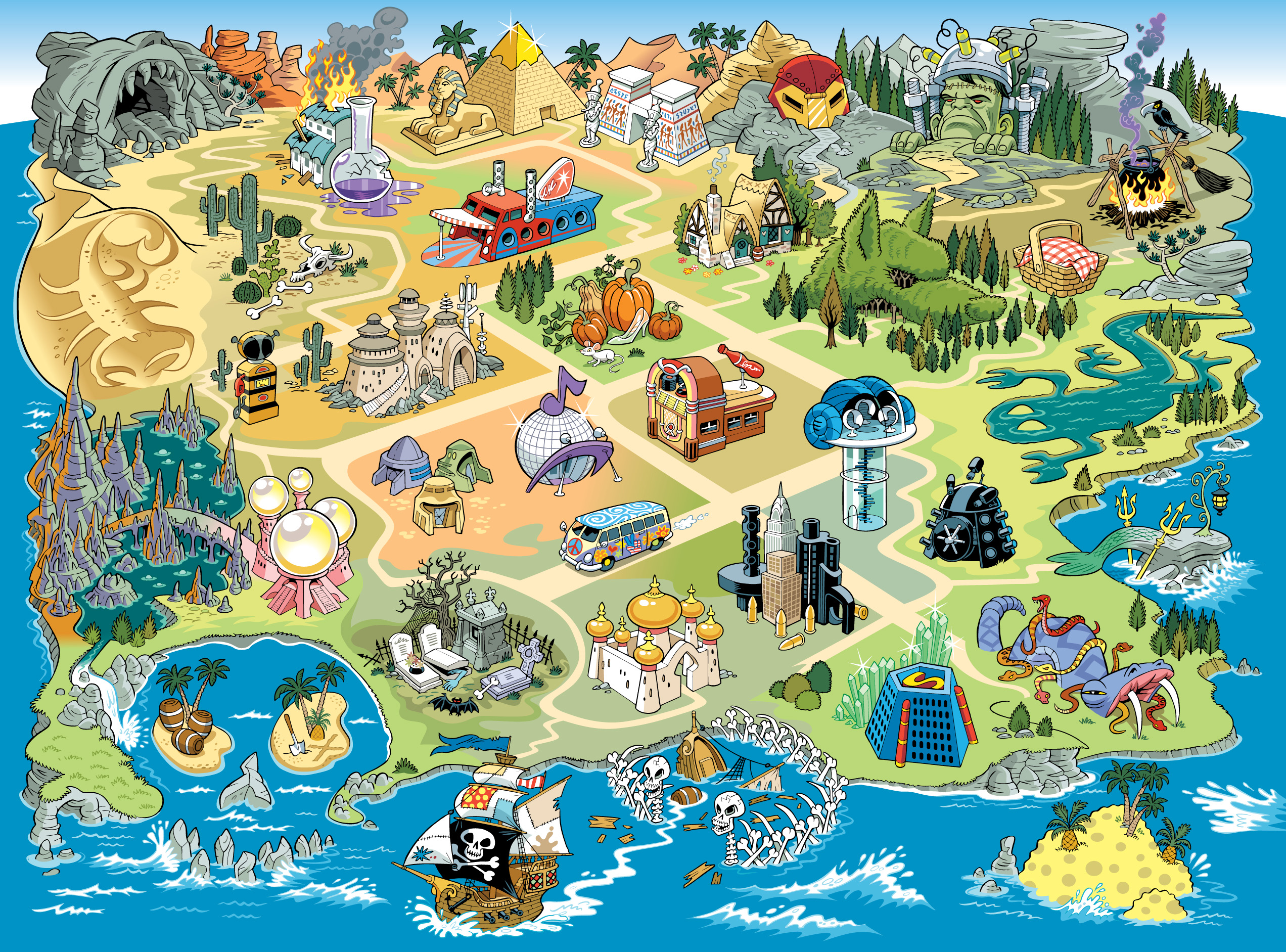
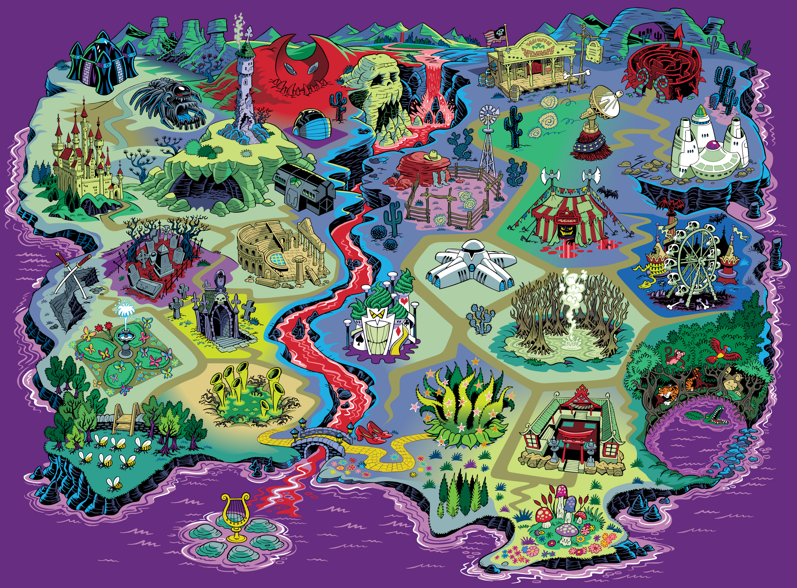
These three maps, created for the US store Party City, were used on their website in 2009 as interactive guides to their themed products in the run up to Halloween. Party City is a big store and Halloween is one of the key dates on their calendar, so there was a lot to squeeze into these images while still leaving enough breathing space between the ‘locations’ to enable on-screen navigation.
Click on them to expand and have a closer look at the detail.