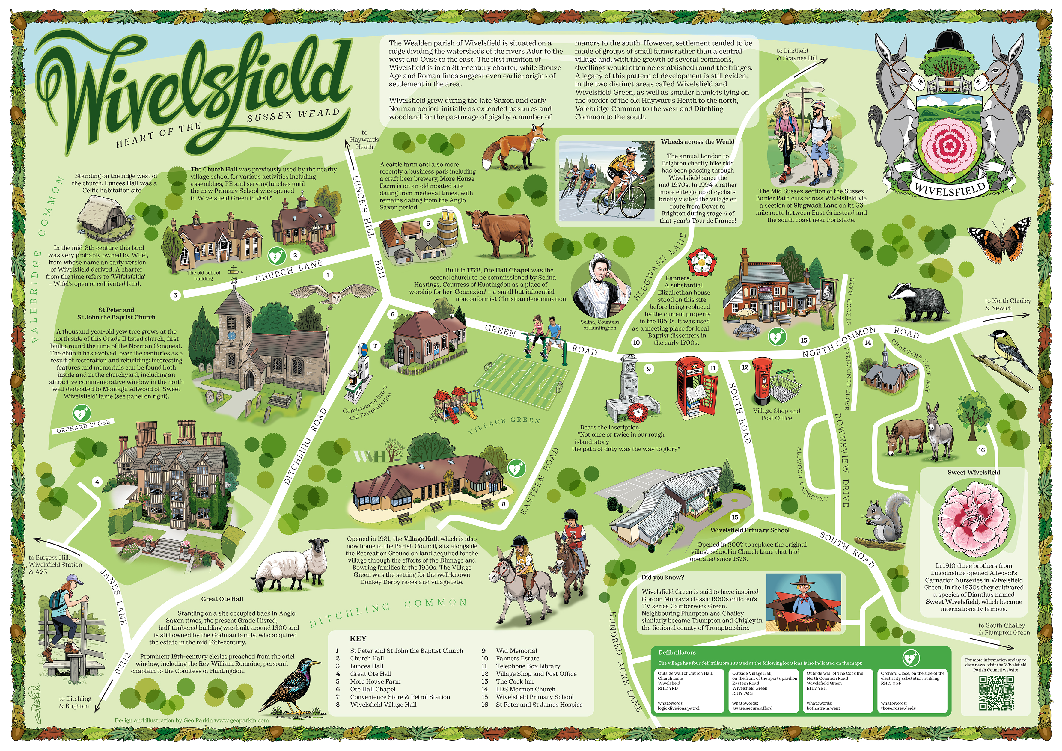
Wivelsfield village map and information board.
There was a whole lot of spatial problem solving to be done in the process of producing this image – the sprawling geography of Wivelsfield/Wivelsfield Green not least of those challenges – which made it a particularly satisfying piece to resolve.
The brief consisted of a list of locations that needed to be included together with a couple of pages of historical notes and general background information on the village. The final piece was required to be attractive, engaging and informative but the layout and visual style was left to me.
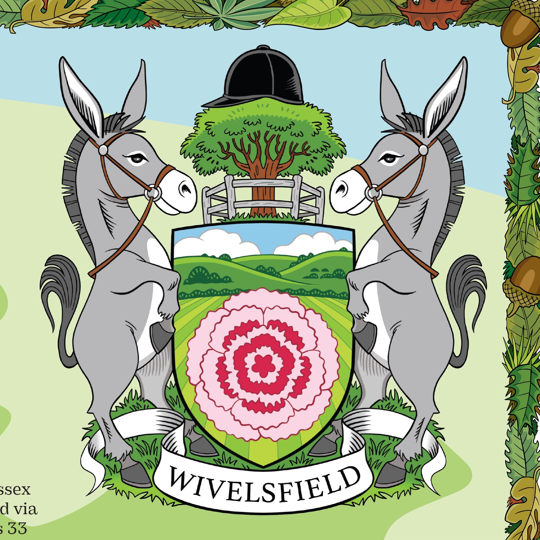
One suggestion I made while producing this map was that we include a village coat-of-arms. No such thing existed at the time so I created one from local components such as racing donkeys and the Wivelsfield carnation. It seemed to go down well with Wivelsfield Parish Council, who were very receptive and positive towards most of my design decisions throughout the process; a delightful client.
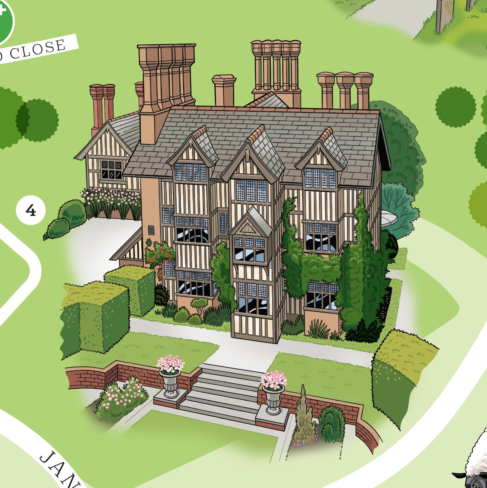
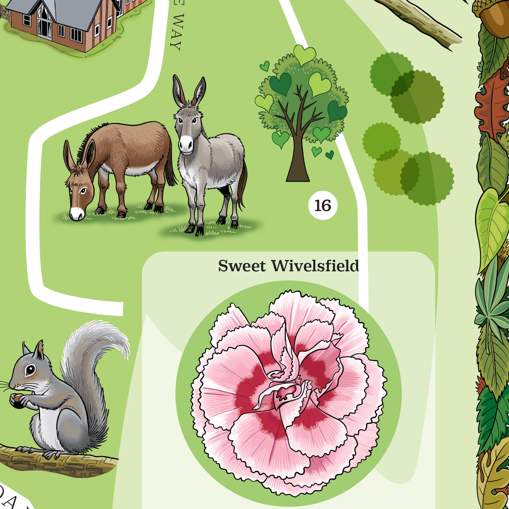
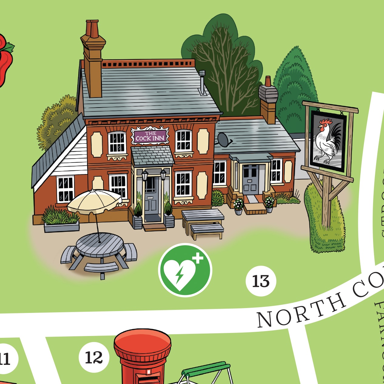
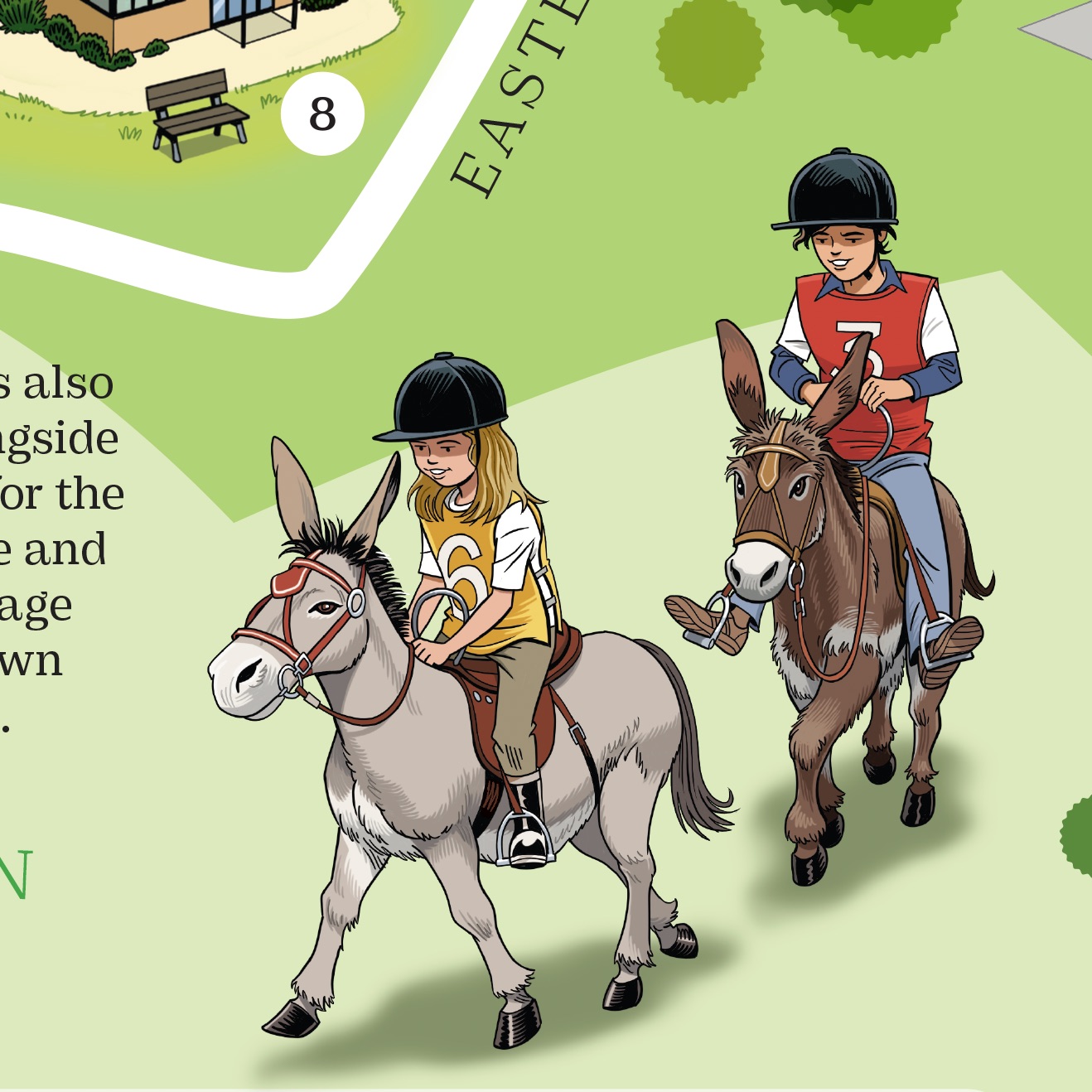
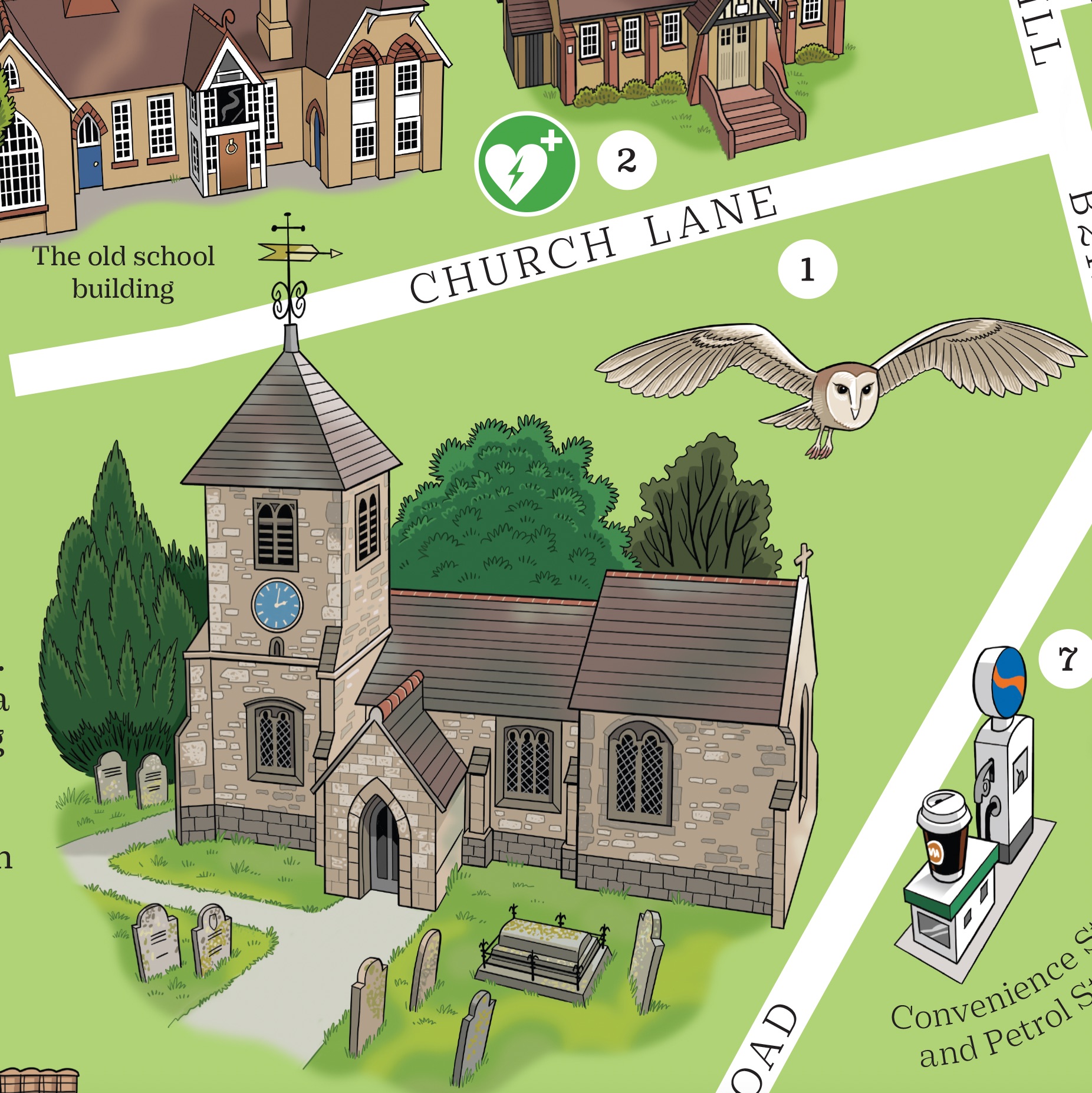
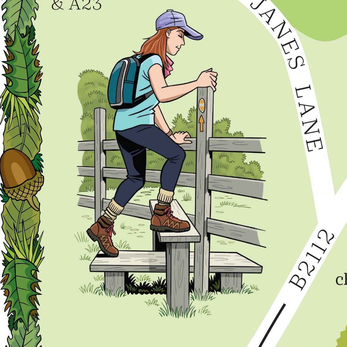
The whole image is shown above with a few selected details below. Click to enlarge.

Prints of this image are available on request. Please email for details geo@geoparkin.com
